Five years ago Friday, a giant named Ike paid an unwelcomed visit to Southeast Texas...
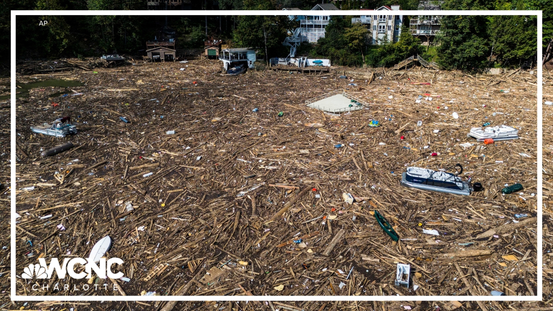
The shear size of the hurricane resulted in the worst flooding the area had ever experienced. Upon landfall, a powerful storm surge swept across Sabine Pass inundating the town with up to 14 feet of water. Any structure that was not elevated was completely destroyed. The Gulf of Mexico pushed the Port Arthur seawall to the brink as water splashed over into the city. On the north side of Sabine Lake, water rushed through the marshland flooding Bridge City and portions of Orange county with 6 to 10 feet of water. Nearly every resident in Bridge City suffered property damage as a result of the high water (Figure 1). Beaumont saw a significant water rise around many underpasses, while several homes near the Neches River were flooded. Wind gusts of up to 100 mph caused additional damage. Power lines and trees littered the landscape leaving nearly 100 percent of Jefferson County in the dark.
Ike started as a tropical wave that emerged off the coast of Africa on August 28, 2008. It took a few days for the system to evolve from a depression to a hurricane, but by September 3rd, Ike had reached Category 1 strength.
A few days later, Ike had grown to a Category 4 storm upon landfall in Cuba (Figure 2). After crossing the island nation, some weakening occurred. Ike would then emerge in the Gulf of Mexico with an eye set on Texas. While over open water, Ike was so large that the cloud shield covered most of the Gulf (Figure 3). No significant strengthening occurred in the few days leading up to the Texas landfall. The eye of Hurricane Ike came onshore September 13th at 2 AM on the north end of Galveston Island as a Category 2 storm (Figure 4). Even though Ike was not classified as a major hurricane upon landfall, it produced a storm surge equivalent to a Category 4 storm. Hurricane force winds at one point extended 100 miles from the center, while tropical storm force winds extended an additional 140 miles.
The worst destruction was evident on the Bolivar peninsula after a massive storm surge as high as 20 feet swept onshore. Nearly all structures were either completely destroyed or heavily damaged. The infamous photo from Gilchrist shows one lone house standing (Figure 5).
In the end, Ike would turn out to be the 4th costliest hurricane in US history behind Sandy (2012), Andrew (1992), and Katrina (2005). A total of 20 people died in Texas, Louisiana, and Arkansas as a direct result of the storm. Several bodies were recovered on the bay side of the Bolivar Peninsula near Goat Island. Hurricane Ike was the last tropical system to impact Southeast Texas. It serves as another reminder to be prepared for the very worst every hurricane season!

