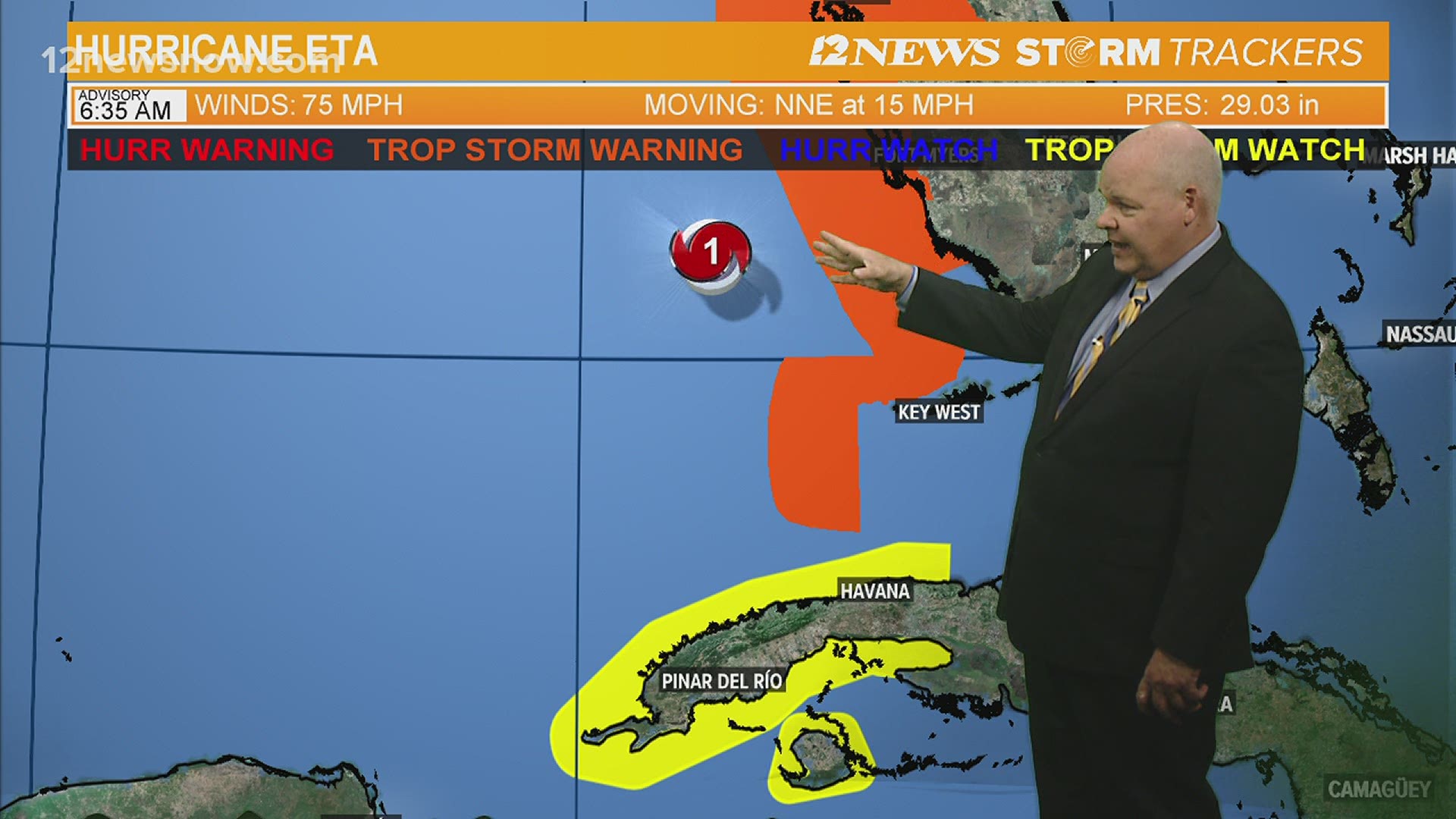
BEAUMONT, Texas — Tropical Storm Eta made landfall near Cedar Key around 3:00 AM CST this morning with 50 mph winds.
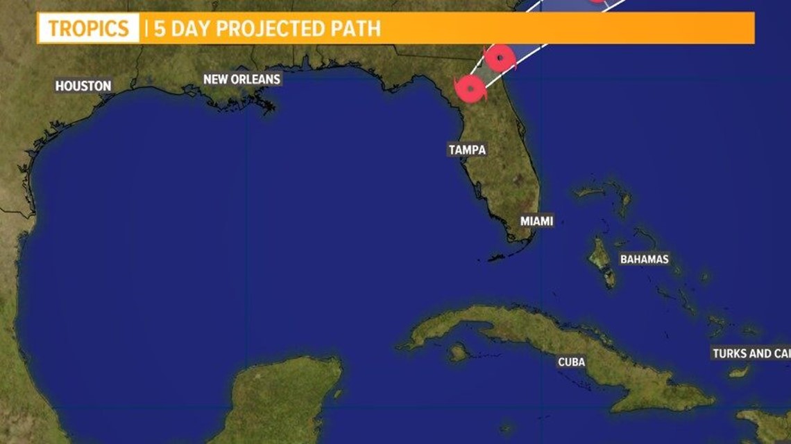
It will continue to move northeast across northern Florida today with more heavy rain for the state.
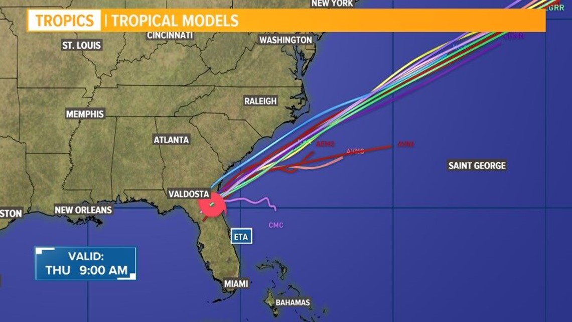
Eta will emerge in the Atlantic this afternoon and quickly move to the northeast staying just off the U.S. East Coast.
It will lose tropical characteristics, but still be a strong area of non-tropical low pressure as it heads out to sea.
Tropical Storm Theta, the record 29th named storm of the 2020 Hurricane Season, remains in the middle of the Atlantic SW of the Azores.
The forecast calls for it to move to the east and maintain winds of 65 mph for a few days. Then it is expected to weaken as it tracks north of the Azores this weekend and into early next week.


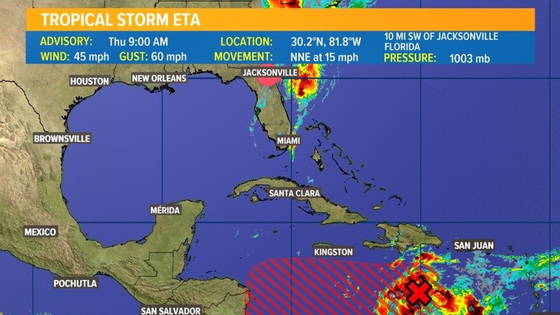


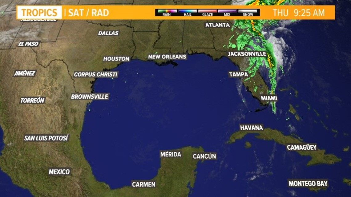
Invest 98L is a tropical wave over the central Caribbean, and is producing disorganized showers and storms.
It will be get better organized and slowly move to the west across the Caribbean into a more favorable environment to develop over the next few days.
A tropical depression or storm (Iota) is likely to develop in the next 2-3 days as the wave moves into the western Caribbean.
It will continue to track slowly west toward Central America next week and bring that area more heavy rain. NHC is giving this system a high chance to develop.
Elsewhere...the rest of the tropics will stay quiet for the next 5 days
Tracking the Tropics
Latest forecast from the National Hurricane Center...
At 1000 AM EST (1500 UTC), the center of Tropical Storm Eta was located near latitude 30.2 North, longitude 81.8 West. Eta is moving toward the north-northeast near 15 mph (24 km/h).
A faster northeastward motion is expected over the next couple of days. On the forecast track, the center of Eta will emerge into the western Atlantic by early this afternoon.
The cyclone is expected to accelerate over the western Atlantic and move parallel to, but offshore of the Carolinas tonight and early Friday before heading well east of the Mid-Atlantic coast by late Friday.
Maximum sustained winds are near 45 mph (75 km/h) with higher gusts. Little change in strength is forecast through early Friday. Eta could re-intensify as a non-tropical cyclone late Friday or Friday night before becoming absorbed by a larger non-tropical cyclone on Saturday.
Tropical-storm-force winds extend outward up to 115 miles (185 km) primarily over water to the east of the center. A NOAA Coastal Marine Observing site at St. Augustine Florida reported sustained winds of 39 mph (63 km/h) and a gust of 44 mph (70 km/h).
A wind gust to 43 mph (69 km/h) was recently reported at the Mayport Naval Air Station near Jacksonville, Florida.
The estimated minimum central pressure is 1003 mb (29.62 inches).
Be prepared if a storm comes our way
BEFORE THE STORM
- Make a home inventory
- Have a current copy of your declarations page that has your policy number and your agent's number
- Review your policy with your insurance agent to determine if you have adequate coverage
- Repair loose boards, shingles, shutters and downspouts to prevent them from becoming an issue in high winds or torrential rain
- Have an evacuation plan, and include plans for your pets
- Make sure your emergency equipment is in working order, including a battery-powered radio, flashlights and extra batteries. Also, make sure to gather all medicine, replenish your first-aid kit and stock a week's worth of non-perishable food and water
- Charge your cell phone and fill your car with gas
- Program all emergency phone numbers
DURING THE STORM
- If you are advised to evacuate, leave as soon as possible. Retain all related receipts - they may be considered in your claim. If you aren't in a recommended evacuation and you plant to stay home, stay informed by listening to weather alerts
- Keep windows and doors closed at all time, and, if possible, board them up with wooden or metal shutters
- Stay away from the windows and in the center of the room, or, stay in an interior room
- Avoid flood water, as it may be electrically charged from downed power lines
- Check on family members and friends\
AFTER THE STORM
- Check to be sure your family members are safe
- If you did evacuate, wait for official notice that it is safe to re-enter your neighborhood and your house
- Document damaged property, and take photos and videos. Don't dispose of any damaged items without approval
- Keep a record of any temporary repairs or expenses to prevent further damage to your property.

