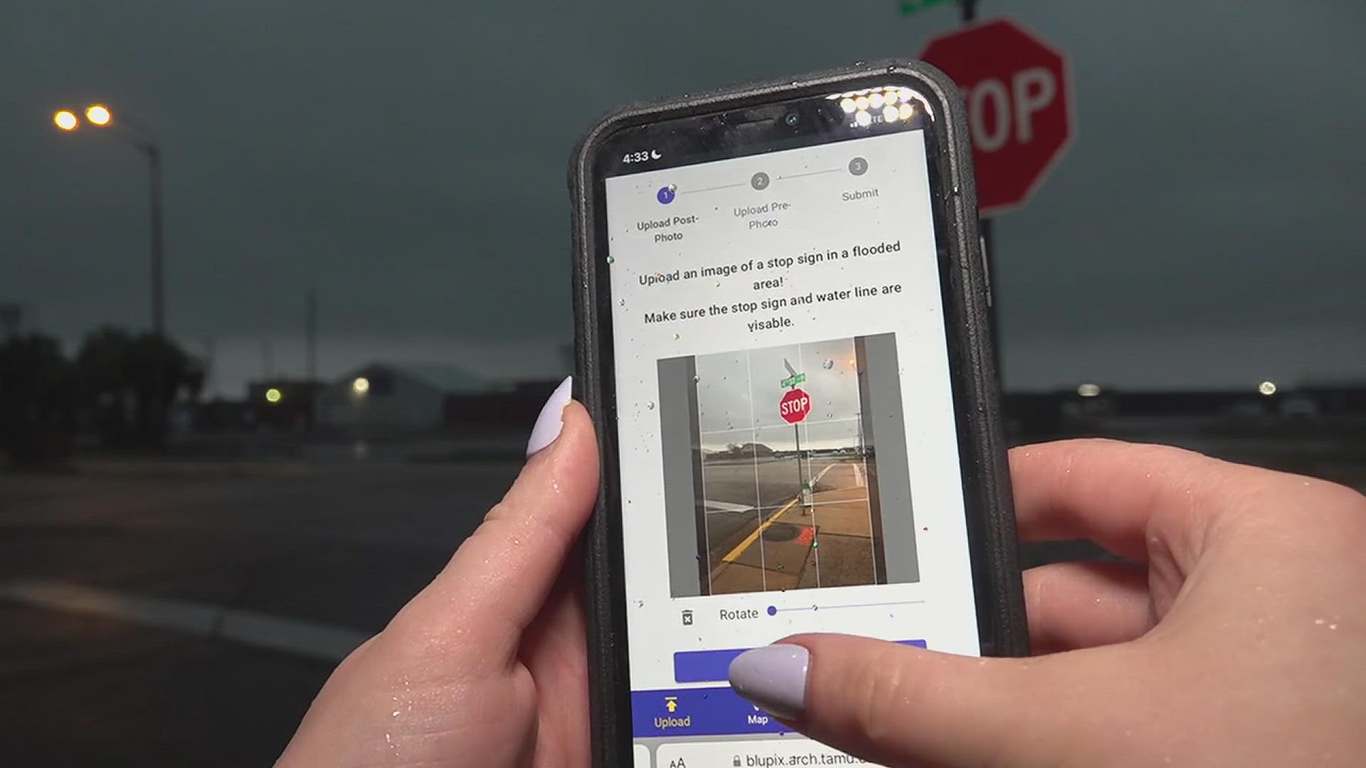
PORT ARTHUR, Texas — A new flood tracking app will be presented to the Port Arthur City Council on Thursday.
Texas A&M University Construction Science Professor Dr. Amir H. Behzadan, who developed the app "Blupix", reached out to Port Arthur city leaders.
He wants to partner with the city to help provide precise, real-time information about flood levels to residents and first responders.
Residents would be able to help gather the data by uploading photos.
Port Arthur Mayor Thurman Bartie say because flooding poses such a great risk in Southeast Texas, he's excited to put the new tool to work.
"I believe that we should use every resource, every instrument that we have, and for sure in a community like mine here in Port Arthur," said Bartie.
Users will be able to go to the Blupix app and create an account. Once that is done, users will upload a photo of the stop sign where the flooding is occurring.
The pole of the stop sign will gauge how deep the water is. Stop signs are used because they are universally the same length.
Users will then submit their pictures. The app will compare the "flooded" stop sign photo to a pre-flooded photo of the same sign.
Using artificial intelligence, the app will provide real-time precise information about flood levels, which will also help city leaders make key decisions.
"Now you try to be prepared or you're preparing yourself to either correct the infrastructure or do something that would actually mitigate so to speak," Bartie said. "The possibility of the probability of the flood."
Texas A&M representatives will present the app at a conference at city hall with more details about how this technology can help prevent flooding at 10 a.m. Thursday.

