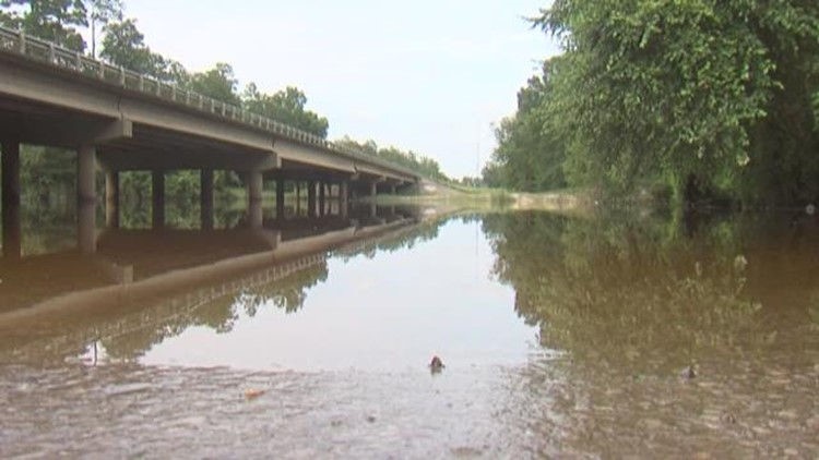
BEAUONT — Here's a look at current river levels around Southeast Texas.
Several Southeast Texas waterways have elevated water levels following recent rain storms although levels are falling and are not expected to rise again anytime soon.
SABINE RIVER LEVELS
GAUGE | Sabine River in Orange
GAUGE | Sabine River at Deweyville
The current level is at 26.81 feet which is almost three feet above the flood stage of 24 feet with moderate flooding forecast. Levels are forecast to drop with the level reaching 26 feet on April 9.
GAUGE | Sabine River near Bon Weir
The current level is at 34.93 feet which is more than four feet above the flood stage of 30 feet with moderate flooding forecast.
GAUGE | Sabine River near Burkeville
NECHES RIVER LEVELS
GAUGE | Neches River at Beaumont
The current level is at 7.86 feet which is almost four feet above the flood stage of four feet with moderate flooding forecast. Levels are forecast to drop with the level reaching 4.4 feet on April 9.
GAUGE | Neches River at Evadale
The current level is at 17.53 feet which is above the flood stage of 17 feet with minor flooding forecast. Levels are forecast to drop with the level reaching 16.6 feet on April 9.
GAUGE | Neches River at Town Bluff
GAUGE | Neches River at Steinhagen Lake
GAUGE | Neches River at Rockland
GAUGE | Neches River near Diboll
PINE ISLAND BAYOU GAUGES
GAUGE | Pine Island Bayou above Beaumont
GAUGE | Pine Island Bayou at Bevil Oaks
GAUGE | Pine Island Bayou near Sour Lake
The current level is at 25.5 feet which is above the flood stage of 25 feet with minor flooding forecast. Levels are forecast to drop with the level reaching 21 feet on April 9.
GAUGE | Pine Island Bayou at Hwy 326
GAUGE | Pine Island Bayou near Batson
COW BAYOU
GAUGE | Cow Bayou near Mauriceville
VILLAGE CREEK
GAUGE | Village Creek near Kountze
TRINITY RIVER GAUGES
GAUGE | Trinity River near Moss Bluff
GAUGE | Trinity River at Liberty
GAUGE | Big Cow Creek near Newton


