
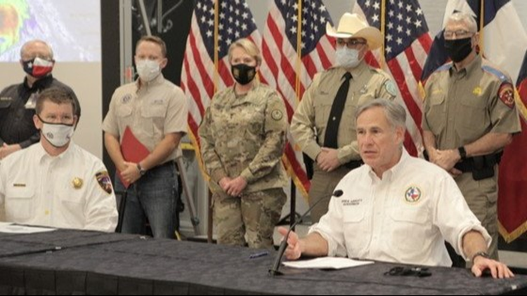
TEXAS, USA — Texas Governor Greg Abbott will be heading to Deep East Texas on Thursday.
According to Communications Director John Wittman, Gov. Abbott will survey storm damage in Orange alongside local officials.
Sen. John Cornyn says he will be joining the governor during the tour.
A press conference is scheduled for 12:30 p.m. at Orange City Hall.
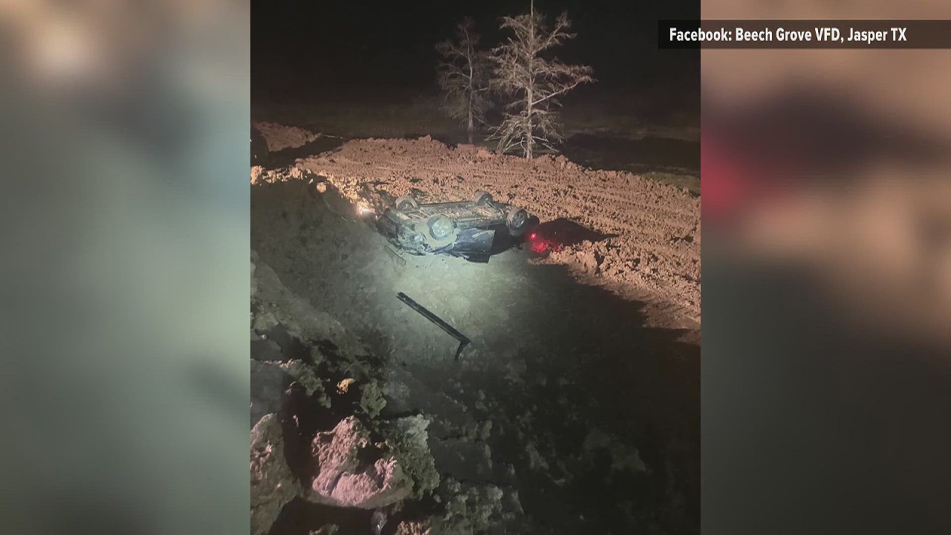
According to the Texas Department of Transportation, trees have been reported down in Shelby County on Farm-to-Market Road 417, about two miles west of US 96 and on FM 2694 at Boles Field. Motorists should avoid the areas and stay alert to remaining storm conditions.
Multiple trees have also been reported dowin in Sabine County, including at SH 103 at Maddux Creek, FM 276 and on FM 2024.
Hurricane Laura made landfall as a Category 4 storm in southwest Louisiana, near Cameron, around 1 a.m. on Thursday.
According to the National Hurricane Center, maximum sustained winds were 150 miles per hour, with a minimum central pressure of 938 mb.
Laura has since weakened to a Category 2 storm and is currently moving northwest at 15 miles per hour with wind gusts of up to 185 miles per hour. The strong winds are near the eyewall of the storm and don't really extend out too far from the center. Laura is expected to rapidly weaken and become a tropical storm later today.
Laura also brought along a catastrophic storm surge that will lead to flash flooding in southeast Texas and southwest Louisiana. High winds are expected to prompt several tornado warnings for areas in the storm's path. Destructive winds are expected more than 100 miles inland. Tropical storm-force winds are possible across the extreme easter portions of Texas, mainly in Polk, Liberty and and San Jacinto counties.
From satellite images, Laura has the signature of a classic hurricane with a well-defined eye surrounded by deep convection. The storm has continued to strengthen throughout its journey through the Gulf of Mexico. The storm will weaken fast as it makes its way over land.